Dnkluwos Islands: Difference between revisions
Jump to navigation
Jump to search
No edit summary |
No edit summary |
||
| Line 2: | Line 2: | ||
{| class="wikitable" | {| class="wikitable" | ||
|+ | |+ | ||
! colspan=" | ! colspan="6" |Biomes of the Dnkluwos Islands | ||
|- | |- | ||
! | !Temperate valleys and old growth forests | ||
! | !Cinder plains and rift | ||
! | !Whwdhoros Highlands | ||
!Sand flats expanses | |||
! | !H3regh'kos Cliffs | ||
! | !Nēwtōrēg Islands | ||
! | |||
|- | |- | ||
|[[File: | |[[File:Lansdacape plaindnkluwos.png|center|frameless|300x300px]] | ||
|[[File: | |[[File:Cinderplains.png|center|frameless|300x300px|1]] | ||
|[[File:Wodranis.png|center|frameless|200x200px]] | |[[File:Wodranis.png|center|frameless|200x200px]] | ||
|[[File:Coast12.png|center|frameless|200x200px]] | |[[File:Coast12.png|center|frameless|200x200px]] | ||
|[[File:Dhadiii.png|center|frameless|200x200px]] | |[[File:Dhadiii.png|center|frameless|200x200px]] | ||
|[[File:Ghelre.png|center|frameless|200x200px]] | |[[File:Ghelre.png|center|frameless|200x200px]] | ||
|- | |- | ||
| | | | ||
| | | | ||
Revision as of 02:15, 29 December 2023
| Geo-area | |
|---|---|
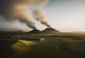
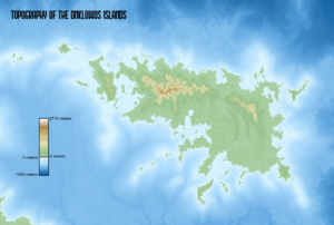 Image description: Natural landscapes of the Dnkluwos Islands | |
| Countries: | Old Dhonowlgos, Rissland |
| Continent: | Anaria |
| Location | |
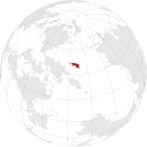
| |
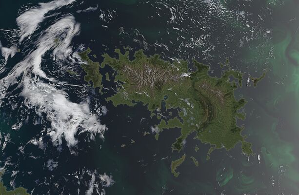
| Biomes of the Dnkluwos Islands | |||||
|---|---|---|---|---|---|
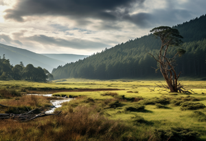
| Temperate valleys and old growth forests | Cinder plains and rift | Whwdhoros Highlands | Sand flats expanses | H3regh'kos Cliffs | Nēwtōrēg Islands |
 |
 |
 |
 |
 |
 |