Dnkluwos Islands: Difference between revisions
Jump to navigation
Jump to search
No edit summary |
No edit summary |
||
| Line 7: | Line 7: | ||
!Cinder plains and rift | !Cinder plains and rift | ||
!Whwdhoros Highlands | !Whwdhoros Highlands | ||
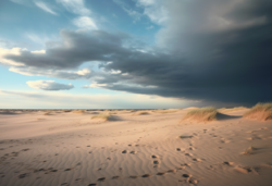
! | !Northern beach sand flats expanses | ||
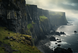
!H3regh'kos Cliffs | !H3regh'kos Cliffs | ||
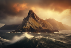
!Nēwtōrēg Islands | !Nēwtōrēg Islands | ||
| Line 18: | Line 18: | ||
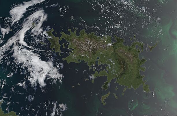
|[[File:Islandsdnklowos.png|center|frameless|250x250px]] | |[[File:Islandsdnklowos.png|center|frameless|250x250px]] | ||
|- | |- | ||
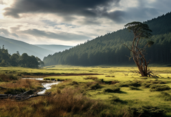
| | |The islands are predominantly temperate to boreal, featuring an abundance of grassy plains and wooded valleys. Over time, these natural landscapes have been transformed into productive farms and grazing pastures, adapting to the needs of modern agriculture. | ||
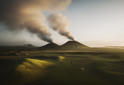
| | |This region is defined by a significant tectonic fissure that has split the main island over eons. Known as the Cinder Plains, it's a land of hot steaming rivers, volcanic rock, and numerous geothermal spots. Dominating this region are the three largest volcanoes of Dnkluwos: ''Peh2wr̥h3regs'', ''Bhergdoru'', and ''Pl̥h1nospeh2wr̥'', visible in the distance and adding to the dramatic landscape. | ||
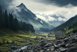
| | |These rugged highlands form the northwestern alps of the main island. The highest point, Mount Ghosdhegōm, reaches an impressive 2,556 meters. The highlands are a stark contrast to the rest of the island, characterized by their elevated terrain and alpine features. | ||
| | |Located in the northwestern ria, these extensive sand flats are a unique geographical feature. The gentle slope of the beach and the depth of the coast create vast sandy areas that extend for kilometers before meeting the sea. The flats are dotted with large sand dunes and hardy vegetation, which stabilize these formations. | ||
| | |These steep slate cliffs are the result of geological uplift in the Dhanh3ta Bay area. Historically, they were the sites of Wolgos towns that served as ports, fishing towns, and trade centers. The largest of these is the ruins of Eghsdhem, which, two hundred years ago, was a thriving city housing ninety-seven thousand Wolgos. Today, these cliff settlements are uninhabited, leaving only their ruins as a reminder of the past. | ||
| | |This chain of islands was formed by now-extinct volcanoes. They are renowned for their steep slopes and high mountains, offering a stark and beautiful landscape distinct from the other regions of the Dnkluwos Islands. | ||
|} | |} | ||
Revision as of 03:17, 29 December 2023
| Geo-area | |
|---|---|
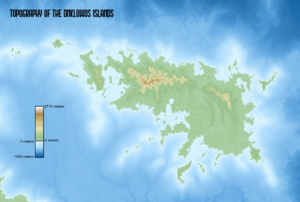 Image description: Natural landscapes of the Dnkluwos Islands | |
| Countries: | Old Dhonowlgos, Rissland |
| Continent: | Anaria |
| Location | |
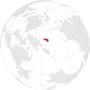
| |
